Deep within the Ouachita Mountains of Arkansas you will find the beautiful Little Missouri Falls.
The Little Missouri River begins in western Arkansas southeast of Mena and flows through the Ouachita Mountains before it reaches the Narrows Dam which creates Lake Greeson. Below the dam, the river flows past the Crater of Diamonds State Park (which is actually an ancient volcano in Arkansas and the only public diamond mine in the world.)
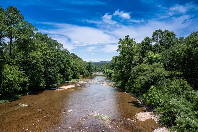
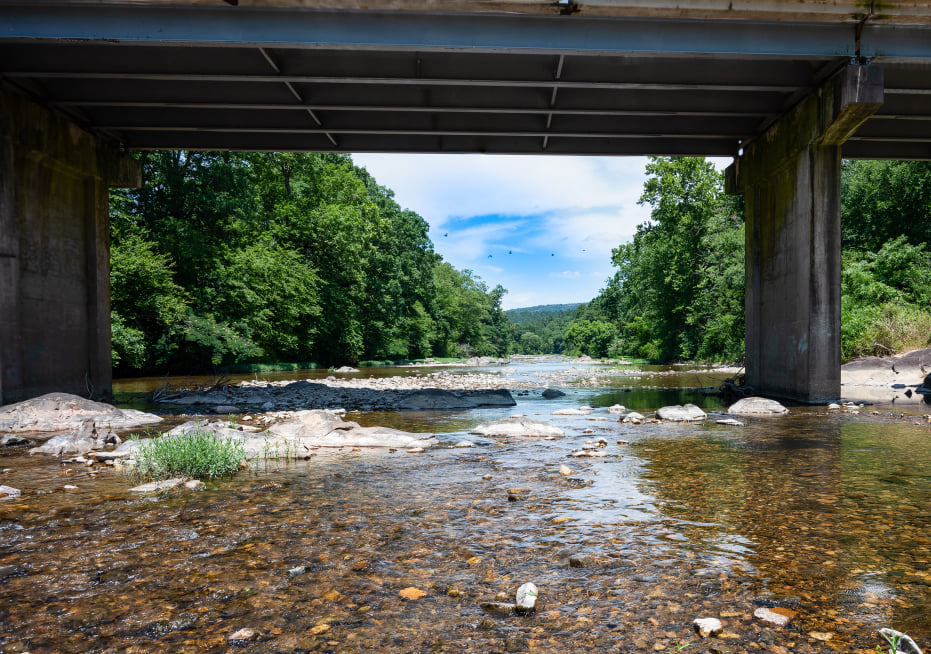
Many people love to splash around and swim in the cool waters of the Little Missouri River and observe the beauty of the Little Missouri Falls. The Little Missouri River was named one of 13 EPIC Arkansas swimming holes!
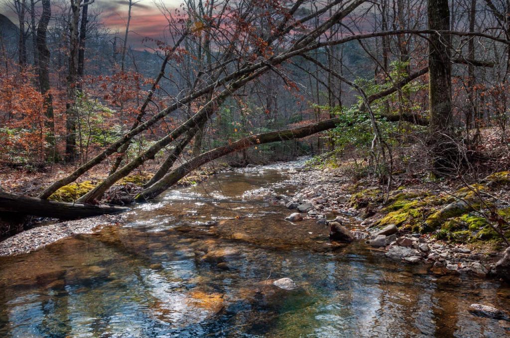
The best time to visit the falls is during the spring and fall. In fact, the spring rains make the falls especially beautiful!
A favorite location is the Little Missouri River recreation area. This recreation area has picnic tables and toilets and is free to use. The cascading waterfalls and beautiful hiking trail are a favorite activity here.
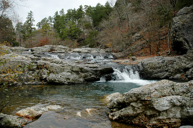
The Little Missouri Falls trail is only 1/4 mile long and considered an easy hike.
You will also love: 8 MUST DO Hikes in Arkansas.
Little Missouri Falls location
Ark. 8 Northwest
Glenwood, AR 71943
Latitude : 34.4226139
Longitude : -93.9196611
Directions to Little Missouri Falls
Directions: Take Arkansas Hwy. 84 west of Glenwood, AR; turn north on Arkansas Hwy. 369 at Langley, AR for 6 miles; continue north 3 miles on Forest Service Road 73 to Forest Service Road 43; turn left (northwest) 4 miles to Forest Service Road 25; turn left (west) for 1/2 mile to Forest Service Road 539. -source
Related articles

