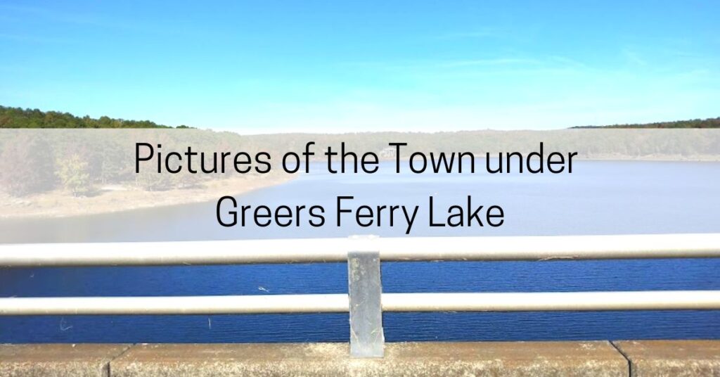
The subject of the town under Greers Ferry Lake comes up often among Arkansas residents and people always want to see photos of the town under the lake.
See, before there was Greers Ferry Lake, there was just the Little Red River that flowed through the valley.
In the valley was the town of Higden.
The Little Red River flooded often and destroyed parts of the town. Farmers had a heck of a time with the flooding and residents remember the streets being muddy.

In fact, the spring of 1927 brought so many rains to the entire Mississippi Valley that Congress asked the Corps of Engineers to develop a flood control program.
One of the planned dams was across the Little Red River.
Who wanted the dam?
Obviously, Congress wanted the dam for flood control as well as the production of hydro-electricity.
But what I find so interesting is that the William Carl Garner Visitor Center states that local residents also wanted the dam.

Are we talking about the residents in the valley? I’m not sure.
Was the old town moved?
Here’s the deal, if you’re going to build a dam, you’re going to create a lake. That means that anyone living in the low area has to move.
Construction began on the Greers Ferry Dam in 1957. Roads, utilities, cemeteries, a railroad and the entire town of Higden had to be moved.
Just 5 short years later, the lake started to fill up.
Yes, the town was moved.
Are there pictures of the town under Greers Ferry Lake?
Some people say that the entire town of Higen still stands under the water.
I even talked with some people this summer who said that the cemeteries are still under there.
That’s incorrect. Documentation states that the cemeteries were moved.
Some people told me recently that there are cars still parked on the roads down there.
I don’t think that’s true either.
But what I do know is that I have never seen photos of what’s under there. If you could get a photo of it, I think all you would photograph are fish.
Why aren’t there underwater photos of the town under Greers Ferry Lake?
Over the summer, I bought a cheap knock-off GoPro camera. I took it out to Greers Ferry Lake to see what it would do.
I was swimming along the edge of the underwater cliffs trying to get some good footage. What I discovered when I got home was a lot of footage of brown water.

So, even if a scuba diver went to the bottom of the lake, the visibility would be a zero.
Besides the fact that there is not a town under there anymore…
What happened to the town of Higden?
The entire town of Higden picked up and moved. They relocated themselves to a nearby hill.
The hill they chose now has water on three sides.
A newspaper story from back then stated that, “The shoreline will be so close to part of [the lake] that local folks will almost be able to go fishing without leaving their porches.”
Today, the COE campground called “The Narrows” sits right next to the town of Higden.
A quick satellite image of the town proves that these folks now have it made in the shade. There are beautiful lake homes there today and I’m sure there is plenty of fishing that goes on right from their backyards.
The secrets of the town under Greers Ferry
There are so many stories that circle around the building of the Greers Ferry Dam and the town of Higden but it all boils down to one thing: the little town was moved.
I don’t believe there is anything left under the water because there wasn’t much to start with.
Today, the towns around Greers Ferry Lake are popular destinations. Read all about it here: What is Heber Springs Arkansas Known For?
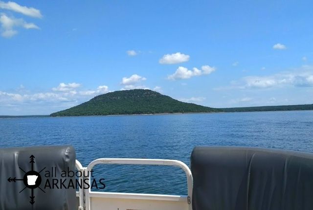
P.S. When the area was flooded, this was created:
[FULL DETAILS] Sugar Loaf Mountain Island Trail

If you want to get a good view of the dam, you can do that here: [WORTH IT] JFK Overlook at Greers Ferry Dam in Arkansas
Related articles

